Click Here to view The National Hurricane Center's animated storm path prediction, or "cone" map of Hurricane Charley. This animation shows how accurate the NHC was at predicting Hurricane Charley's eventual landfall. You'll notice that even when the storm was still south of Jamaica, Charlotte Harbor was directly in the center of "the cone."
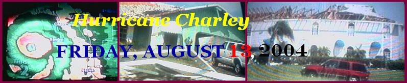
Animated Radar #1: Hurricane Charley moves over western Cuba then set its sights on southwest Florida.
Animated Radar #2: Hurricane Charley makes a sudden shift in direction and aims straight for Charlotte Harbor.
Animated Radar #3: Watch Hurricane Charley's trek across the entire state.